


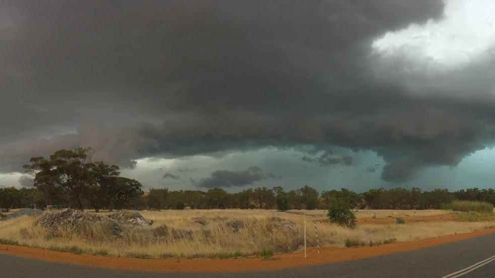
West Aussies are bracing for wild weather conditions, with “plenty of rain and storms” set to hit parts of the State over the next couple of days.
Showers and thunderstorms are expected to drench most of WA on Wednesday but only a few locations will get severe weather.
The Bureau of Meteorology forecasts storms over the Kimberley, Interior, Pilbara, inland Gascoyne and northern Goldfields could become severe and produce damaging winds, large hail and rainfall.
The forecast also says Perth could be hit with a thunderstorm on Wednesday afternoon, but Bureau senior meteorologist Dean Narramore said it’s unlikely to have a big impact the city.
Mr Narramore said there could be an isolated shower in the northern or eastern suburbs, but the heavy rain is expected only inland near Northam and York.
Wet conditions will continue into Thursday, with Bureau meteorologist Jonathan Ho saying a low-pressure system and trough will move through the southern and eastern parts of the State, bringing rain and thunderstorms.
“Rain and storms will gradually push off the coast through the day, and by night time will gradually clear away from the state completely,” Mr How said.
“But a few showers lingering about the south coast, with cooler southerly winds moving up towards places like Albany.
“A little bit of cloud across the Wheatbelt that will clear through the day.”
Perth is expected to have a fine day on Thursday, with a top of 27C
PERTH WEATHER FORECAST
- Wednesday: Mostly sunny, 16 – 28 🌤️
- Thursday: Sunny, 16 – 27 ☀️
- Friday: Mostly sunny, 16 – 27 🌤️
- Saturday: Mostly sunny, 16 – 30 🌤️
- Sunday: Partly cloudy, 15 – 29 ⛅️
- Monday: Partly cloudy, 17 – 29 ⛅️
- Tuesday: Mostly sunny, 17 – 29 🌤️
Forecast sourced from the Bureau of Meteorology.

