


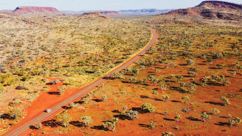
Terrain Minerals has wrapped up a one-week, advanced ultrafine fraction soil sampling program at its Carlindie project, 90 kilometres southeast of Port Hedland in WA’s highly prospective East Pilbara region.
The 538-sample survey was designed as an orientation exercise to test a modern ultra-sensitive geochemical technique developed by Australia’s key scientific and industrial research organisation (CSIRO) to essentially “see through” the transported surface cover that blankets much of the region and can mask underlying mineralisation.
The company says its mid-2026 conventional first-pass soil survey returned low-order and spatially inconsistent gold results, which an independent review suggested were heavily influenced by transported cover material rather than by signatures from the local underlying bedrock.
This is often a headache for explorers in covered terrains and it’s precisely the problem the CSIRO’s “UltraFine+” method was designed to solve. The technique analyses the tiny sub-2-micron (less than 0.002 millimetres) fraction of soil particles, which can sometimes carry a more reliable geochemical signature from concealed bedrock sources.
The successful application of innovative geochemistry combined with machine learning in the Pilbara was a key element in De Grey Mining’s nearby world-class Hemi gold discovery. Hemi was also found under cover, highlighting the kind of prize on offer for those who can successfully navigate the many geochemical problems and red herrings posed by surface cover.
In WA’s often arid and flat terrain, that type of cover usually comprises wind-blown or water-borne sheet-wash sands and can be transported for many kilometres from surrounding terrain by those two common geological erosion and transport processes. That cover can often swamp true local geochemical signatures of interest – which may emanate from sub-surface mineralisation – with widespread and misleading low-to-zero value signals.
Terrain’s latest program was designed to trial the method’s effectiveness at Carlindie and to probe two priority magnetic targets ahead of a possible project-wide rollout next year, depending on initial results.
Carlindie has two independent lines of evidence pointing at the same ground — surface geochemistry and the machine-learning work — and neither has been drill tested. This survey is deliberately an orientation exercise. We are testing the method and the two best magnetic targets, and we will let the results decide what comes next.
The first-priority target consisted of 274 samples along a northeast-trending magnetic lineament that intersects a major regional structure. The company notes a similar structural intersection to the west hosts several known tin, tantalum and lithium occurrences.
A further 65 samples were collected over a second priority target, a 900-metre-long oblong magnetic feature, which has been interpreted as a discrete geological unit of possible interest.
In addition to testing the two new magnetic targets, the program included resampling 199 sites from its previous survey, conducted over four months ago. Sampling of one in every four lines of the initial survey is intended to provide a direct comparison between the original conventional program and the new ultrafine methods on the same ground.
Coinciding with the completion of the new survey, Terrain has released the gold results from its initial first-pass program. Of the 709 samples analysed, 21 returned values above the 0.005 parts per million detection limit, yielding a peak value of 0.119 parts per million (ppm) gold, equivalent to 0.119 grams per tonne.
However, Terrain says the results are low-order and do not define a coherent gold anomaly, with the peak value isolated and its nearest comparable result lying some 1.3km away. Those inconclusive results support the company’s view that a more sophisticated geochemical approach is required to explore the ground effectively.
The Carlindie project sits in a particularly well-endowed mineral province and is strategically positioned between tenements held by major lithium players Wildcat Resources and SQM. A previous machine-learning study successfully interpreted a concealed greenstone belt beneath the project area, which is inferred as a possible extension of the same structure that hosts the nearby Tabba Tabba lithium deposit.
While the company’s primary focus remains its flagship Smokebush gold and silver project in WA’s Mid West region, its work at Carlindie highlights a systematic approach to progressing its broader portfolio, which also includes the Lort River rare earths project near Esperance and the Biloela copper-gold project in Queensland.
With samples from the Carlindie survey now at the lab in Perth, Terrain is waiting on a five-to-six-week turnaround for analysis and says it expects the all-important assay results in the fourth quarter of this year.
If this new-age geochemical survey can prove it can cut through the surface geochemical noise or blanking effects at Carlindie, it could give Terrain a powerful tool to unlock the project’s potential and may just light up a new suite of drill targets in one of Australia’s most sought-after exploration postcodes.
Is your ASX-listed company doing something interesting? Contact: matt.birney@wanews.com.au